Matthelon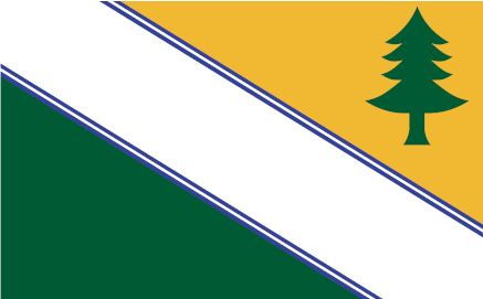
1. General OverviewThe Matthelon Confederation, or just Matthelon, is a sovereign nation located on the eastern portion of the continent ______. To the north and east of Matthelon is the Karifan Ocean and to the north and west is the Emerald Straight and Rodinan Sea. Matthelon exists today as a Confederation-Republic in which the citizens vote in representatives to form a government by province to govern the nation as a whole. There are twenty-one provinces within the nation of Matthelon which hold a degree of autonomy and have their own governments and Provincial Governor. However, the Republic government is in control of the military. Matthelon is home to 45,230,800 people which are quite spread out among the provinces. The capital city of Grenneighll, is the second largest city in Matthelon with just over 1.9 million people. It is fairly centrally located within Matthelon as a city in the Selle Province. Other major cities include Lyco, Portmarne, Aristaqua, Massport, and Portmarne.
2. GeographyPhysical GeographyMatthelon is known for its rocky coastline in the north at the Emerald Strait that transitions to a more sandy coast in the southeast along the Karifan Ocean. The interior is a generally hilly landscape full of picturesque winding rivers and deep lakes but not many large mountains until reaching the southernmost provinces and furthest from the coastline. Most of the forested regions are a mix of deciduous and coniferous trees reflecting the temperate climate. All over Matthelon you can find the world famous wild lowbush blueberries and in the waters of the Emerald Strait and Karifan Ocean plentiful seafood including clams, oysters, muscles amd especially snow crab. The climate classification for Matthelon is a humid continental climate with cold snowy winters and warm wet summers. Generally speaking, Matthelon has four distinct seasons. The Selle river is the longest river in Matthelon and is where the capital city of Grenneighll is situated. All rivers in Matthelon flow either north or east towards the large bodies of water the Karifan Ocean and/or the Rodinian Sea/Emerald Strait.
Political GeographyTwenty-one provinces make up the confederation which in the past were all sovereign kingdoms which transitioned to republics and quickly came into union as they often would be manipulated by larger foreign powers. Similar cultures and language brought together these provinces however each has its own local government and head of province known as governor.
3. DemographicsThe total population of Matthelon is 45,230,800 people with around 70% of the population living in or in the metropolitan area of urban cities. Metropolitan area meaning the suburbs and exurbs. Most Matthelonic people today prefer to live near the large cities with higher income potential and activities. However still a large subset of people also rather rural life and some provinces are almost entirely rural minus its capital city. Matthelonic people are considered by and large welcoming of visitors from other nations especially in the coastal cities. Immigration to Matthelon has increased as the confederation has spent considerable amounts of resources to encourage foreign investment via tourism.
Largest CIties of MatthelonLyco - 2,402,450
Grenneighll - 1,920,320
Portmane - 1,410,400
Aristaqua - 875,560
Massport - 858,260
Ister - 650,700
Emlenton - 540,570
Vermonat - 340,410
Kitterie - 303,600
Damriscot - 278,390 |
Statistics
Capital City: Grenneighll
Head of State: President
Head of Government: Prime Delegate
Government Type: Bi-cameral Legislature
Upper House: Delegation
Lower House: National Council
Current President: Daina Testruvial (Trenton Party)
Current Prime Delegate: Avery Lautane (Chorrus Party)
Demonym: Matthelonic
Languages: Matthelonic (Irish/Gaelic branch)
Currency: Matthelonic ulu
Driving side: Right
Internet code: .mth


